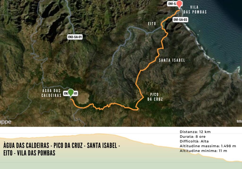
ÀGUA DAS CALDEIRAS – PICO DA CRUZ – SANTA ISABEL – EITO – VILA DAS POMBAS
This route can be divided into two stages, the first from Água das Caldeiras to Santa Isabel and the second from Santa Isabel to Vila das Pombas. More experienced hikers can do it all in one day, making a refueling stop in Santa Isabel.
I percorsi
Leaving Água das Caldeiras allows you to see the Cova crater and walk through the forest to reach Pico da Cruz, the highest point on the island.
From Pico da Cruz the descent towards Santa Isabel begins. During the route it is possible to observe unique natural landscapes of the eastern plateau, the panoramas of the vast valleys, and from the road it is possible to see some endemic species such as the cow’s tongue, the herbaceous tortolho, the tanager and the contra-witch.
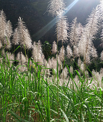
From the community of Santa Isabel to Ribeirãozinho, the community’s main product, coffee and other fruit trees, mainly guava, orange and other varieties, predominate.
After going down to the valley and crossing the river you will reach Eito, a village with one of the most famous warehouses on the island, where grogue is produced.
From Eito to Vila das Pombas it will be possible to follow the cobblestone road that runs along the valley.
The routes
Santo Antão
DISTANCE
12 km
DURATION
8 hours
DIFFICULTY
High
EXPERIENCES TO TRY
SANTA ISABEL COMMUNITY
Sleep at Pousada do “Cantinho do Café”, managed by the community association